| diagram | 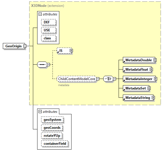 |
||||||||||||||||||||||||||||||||||||||||||||||||||||||
| type | extension of X3DNode | ||||||||||||||||||||||||||||||||||||||||||||||||||||||
| properties |
|
||||||||||||||||||||||||||||||||||||||||||||||||||||||
| children | IS MetadataDouble MetadataFloat MetadataInteger MetadataSet MetadataString | ||||||||||||||||||||||||||||||||||||||||||||||||||||||
| used by |
|
||||||||||||||||||||||||||||||||||||||||||||||||||||||
| attributes |
|
||||||||||||||||||||||||||||||||||||||||||||||||||||||
| annotation |
|
||||||||||||||||||||||||||||||||||||||||||||||||||||||
| source | <xs:element name="GeoOrigin"> <xs:annotation> <xs:appinfo> <xs:attribute name="componentName" type="componentNameChoices" fixed="Geospatial"/> <xs:attribute name="componentLevel" type="xs:positiveInteger" fixed="1"/> GeoOrigin is deprecated and discouraged (but nevertheless allowed) in X3D version 3.3. GeoOrigin is restored in X3D version 4.0 for special use on devices with limited floating-point resolution. </xs:appinfo> <xs:documentation source="https://www.web3d.org/documents/specifications/19775-1/V3.3/Part01/components/geodata.html#GeoOrigin"/> </xs:annotation> <xs:complexType> <xs:complexContent> <xs:extension base="X3DNode"> <xs:attribute name="geoSystem" type="geoSystemType" default='"GD" "WE"'/> <xs:attribute name="geoCoords" type="SFVec3d" default="0 0 0"/> <xs:attribute name="rotateYUp" type="SFBool" default="false"/> <xs:attribute name="containerField" type="xs:NMTOKEN" default="geoOrigin"/> </xs:extension> </xs:complexContent> </xs:complexType> </xs:element> |
attribute GeoOrigin/@geoSystem
| type | geoSystemType | ||
| properties |
|
||
| source | <xs:attribute name="geoSystem" type="geoSystemType" default='"GD" "WE"'/> |
attribute GeoOrigin/@geoCoords
| type | SFVec3d | |||||||||
| properties |
|
|||||||||
| facets |
|
|||||||||
| source | <xs:attribute name="geoCoords" type="SFVec3d" default="0 0 0"/> |
attribute GeoOrigin/@rotateYUp
| type | SFBool | ||
| properties |
|
||
| source | <xs:attribute name="rotateYUp" type="SFBool" default="false"/> |
attribute GeoOrigin/@containerField
| type | xs:NMTOKEN | ||
| properties |
|
||
| source | <xs:attribute name="containerField" type="xs:NMTOKEN" default="geoOrigin"/> |
XML Schema documentation generated by XMLSpy Schema Editor http://www.altova.com/xmlspy