
| 1 |
<?xml version="1.0" encoding="UTF-8"?>
|
| 2 |
<!DOCTYPE X3D PUBLIC "ISO//Web3D//DTD X3D 3.3//EN" "https://www.web3d.org/specifications/x3d-3.3.dtd">
|
| 3 | <X3D profile='Immersive' version='3.3' xmlns:xsd='https://www.w3.org/2001/XMLSchema-instance' xsd:noNamespaceSchemaLocation='https://www.web3d.org/specifications/x3d-3.3.xsd'> |
| 4 | <head> |
| 5 | <component level='1' name='Geospatial'/> |
| 6 | <meta name='title' content=' A4_GeoLocation.x3d '/> |
| 7 | <meta name='creator' content='Martin Reddy SRI, original example'/> |
| 8 | <meta name='creator' content='Don Brutzman NPS, X3D encoding'/> |
| 9 | <meta name='created' content='26 June 2000'/> |
| 10 | <meta name='modified' content='20 October 2019'/> |
| 11 | <meta name='description' content='Specification example georeferencing VRML objects: display standard VRML cone at latitude/longitude location of Lossiemouth, Scotland.'/> |
| 12 | <meta name='reference' content=' http://www.geovrml.org/1.0/doc/examples.html '/> |
| 13 | <meta name='reference' content='originals/geoloc.wrl'/> |
| 14 | <meta name='reference' content='VRML 97 encoding http://www.geovrml.org/1.0/doc/examples/geoinline.wrl'/> |
| 15 | <meta name='identifier' content=' https://www.web3d.org/x3d/content/examples/Basic/Geospatial/A4_GeoLocation.x3d '/> |
| 16 | <meta name='generator' content='X3D-Edit 3.3, https://www.web3d.org/x3d/tools/X3D-Edit'/> |
| 17 | <meta name='license' content='../license.html'/> |
| 18 | </head> |
| 19 | <Scene> |
| 20 | <WorldInfo title='A4_GeoLocation.x3d'/> |
| 21 | <Group> |
| 22 | <Background groundColor='0 0 0' skyColor='1 1 1'/> |
| 23 | <GeoViewpoint description='Initial GeoViewpoint' orientation='1 0 0 -1.57' position='51.5122 -40.0 10000000' containerField='children'/> |
| 24 | <Shape> |
| 25 | <Appearance> |
| 26 | <Material diffuseColor='0.8 1.0 0.3'/> |
| 27 |
<ImageTexture
url=' "images/earth.gif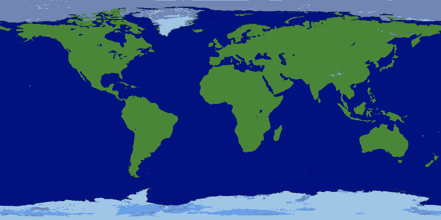 " "images/earth.jpg
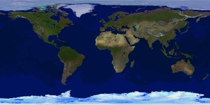 " "images/earth2.gif
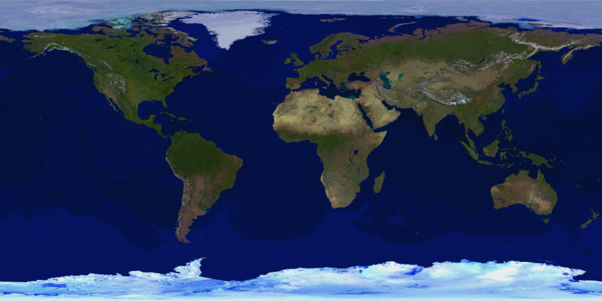 " "images/earth3.jpg
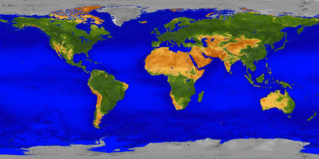 " "https://www.web3d.org/x3d/content/examples/Basic/Geospatial/images/earth.gif
 " "https://www.web3d.org/x3d/content/examples/Basic/Geospatial/images/earth.jpg
 " "https://www.web3d.org/x3d/content/examples/Basic/Geospatial/images/earth2.gif
 " "https://www.web3d.org/x3d/content/examples/Basic/Geospatial/images/earth3.jpg
 " '/>
" '/>
|
| 28 | </Appearance> |
| 29 | <GeoElevationGrid creaseAngle='1.05' geoGridOrigin='-90 -180 0' xDimension='11' xSpacing='36' zDimension='11' zSpacing='18' height='0 0 0 0 0 0 0 0 0 0 0 0 0 0 0 0 0 0 0 0 0 0 0 0 0 0 0 0 0 0 0 0 0 0 0 0 0 0 0 0 0 0 0 0 0 0 0 0 0 0 0 0 0 0 0 0 0 0 0 0 0 0 0 0 0 0 0 0 0 0 0 0 0 0 0 0 0 0 0 0 0 0 0 0 0 0 0 0 0 0 0 0 0 0 0 0 0 0 0 0 0 0 0 0 0 0 0 0 0 0 0 0 0 0 0 0 0 0 0 0 0'/> |
| 30 | </Shape> |
| 31 | <GeoLocation geoCoords='57.7174 -3.286119 200000' containerField='children'> |
| 32 | <Transform rotation='1 0 0 3.1415926'> |
| 33 | <Shape> |
| 34 | <Appearance> |
| 35 | <Material diffuseColor='1 1 0'/> |
| 36 | </Appearance> |
| 37 | <Cone bottomRadius='100000' height='500000'/> |
| 38 | </Shape> |
| 39 | </Transform> |
| 40 | </GeoLocation> |
| 41 | </Group> |
| 42 | </Scene> |
| 43 | </X3D> |
<!--
Online at
<!--
Color-coding legend: X3D terminology
<X3dNode field='value'/>
matches XML terminology
<XmlElement attribute='value'/>
(Light-blue background: event-based behavior node or statement)
(Grey background inside box: inserted documentation)
(Magenta background: X3D Extensibility)
-->
![]() <!--
For additional help information about X3D scenes, please see X3D Tooltips, X3D Resources, and X3D Scene Authoring Hints.
-->
<!--
For additional help information about X3D scenes, please see X3D Tooltips, X3D Resources, and X3D Scene Authoring Hints.
-->